
Where We Work
Every reef, mangrove and seagrass site we dive, survey and restore, mapped, named and open to explore.
Field sites
A field centre with the field on its doorstep
SORCE does not work at one site. We work across a network of them: fringing reefs, mangrove forests, seagrass meadows and the open water between, each chosen because it tells us something the others cannot.
Some we visit weekly to run long-term monitoring, so the same transect is surveyed season after season and the data actually means something. Others we reach a few times a year, or are working on for the first time. Together they are what makes our research possible, and they are where every expedition spends its time in the water.
The map below is the live picture. As we take on new sites and finish work at others, it changes, so what you are looking at is where we are working now, not where we were when this page was written.
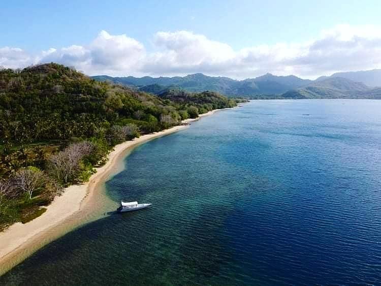
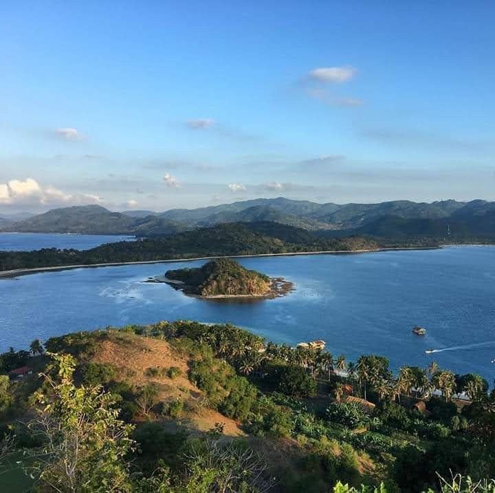
Lombok, Indonesia
The map
Every site we work on
Click any marker to see what that site is, what we do there and what we have found. Use the layers panel to show or hide site types, and open it full screen for a closer look.
The map is provided by Google, which may set cookies when it loads. Cookies policy
Using the map: drag to move, scroll or pinch to zoom, and tap a marker for that site's photographs and notes. On a phone it is easier to read full screen.
Open full screenWhat is on the map
Four kinds of site, one connected system
A reef does not stand on its own. What happens in the mangroves decides what arrives on the reef, and the seagrass between them feeds both. We work across all of it, because that is the only way the picture makes sense.
-
 Coral reefs
Reef surveys · coral restoration · fish and invertebrate ID
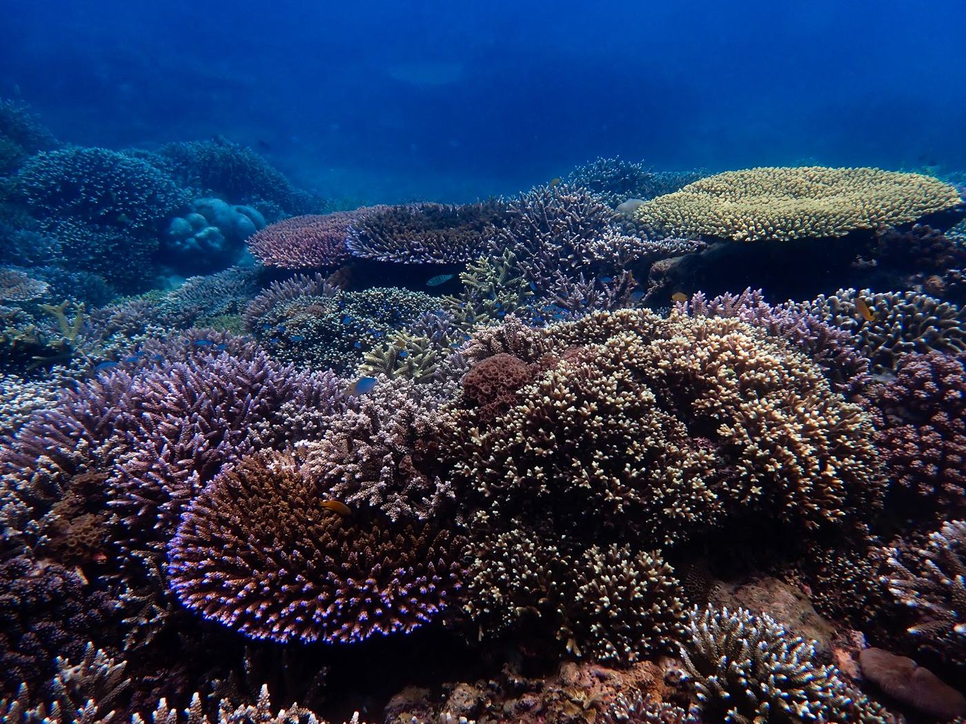
Fringing and patch reefs where we run reef health monitoring, fish and invertebrate surveys, and coral restoration. These are the sites most expeditions dive, and the ones with our longest data records.
Site in focus
Our restoration reefs
Home to our coral nurseries and artificial reef structures. We dive them every week to maintain the structures and plant new corals, so these are the reefs our guests get to know best.
Reef surveys · coral restoration · fish and invertebrate ID
-
 Mangrove forests
Forest surveys · planting and monitoring · nursery work
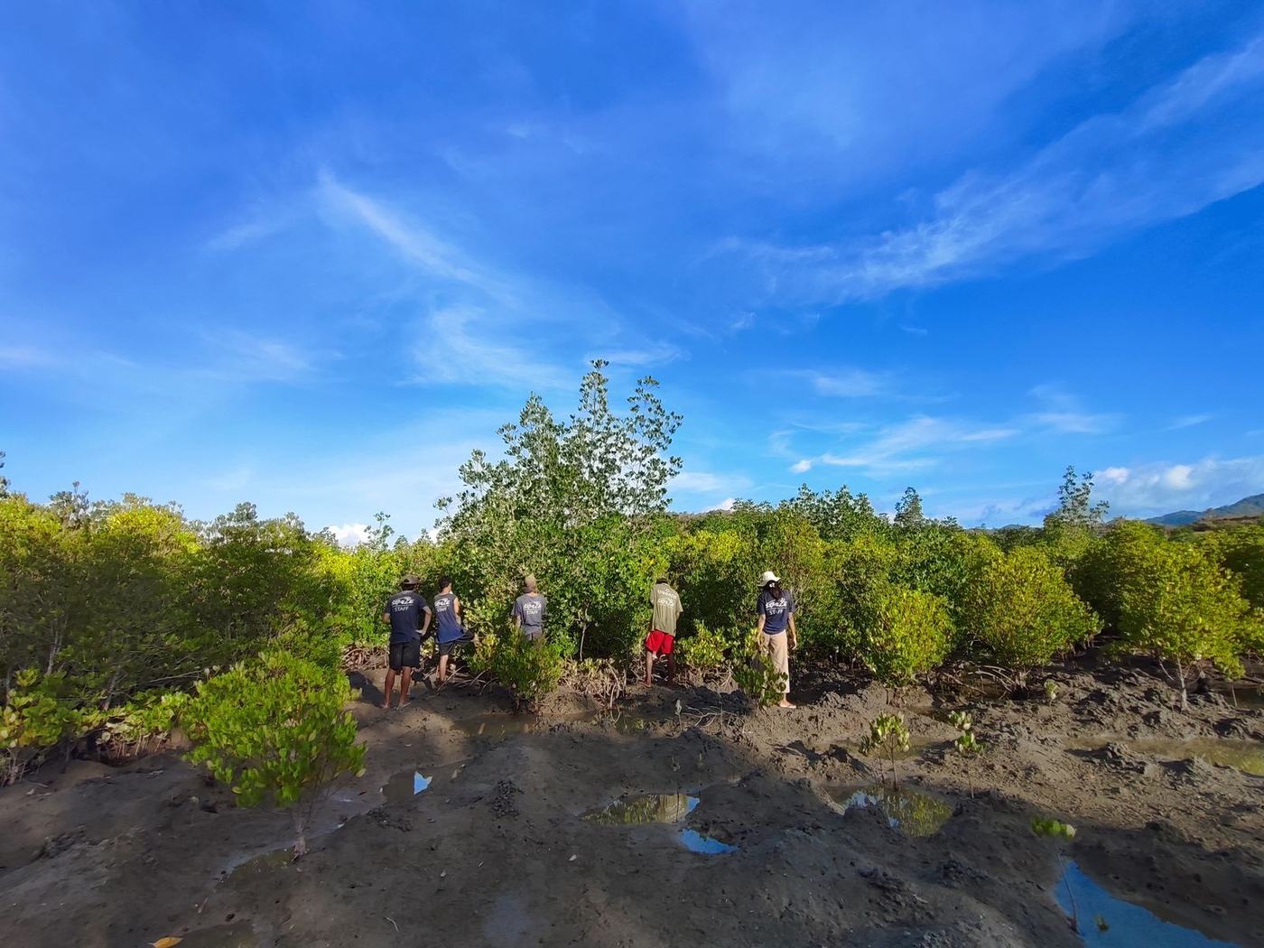
Coastal forest that holds the shoreline together, stores carbon and raises much of what later lives on the reef. We survey standing forest, plant into degraded ground and track what survives.
Site in focus
Our restoration shoreline
Degraded coastal ground being replanted and then watched. Planting is the easy half. The work that matters is returning to count what survived a year later, and changing the method when the answer is disappointing.
Forest surveys · planting and monitoring · nursery work
-
 Seagrass meadows
Seagrass monitoring · priority species sightings
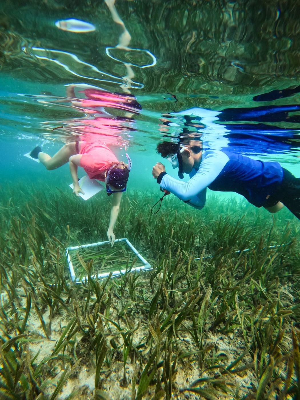
The quietest habitat and the most overlooked. Seagrass feeds turtles, shelters juvenile fish and locks away carbon at a rate forest struggles to match, and almost nobody is counting it.
Site in focus
Our seagrass meadow
A shallow meadow we survey for cover, shoot density and the turtles that graze it. Seagrass is barely monitored in the region, so every count here adds to a record that hardly exists yet.
Seagrass monitoring · priority species sightings
-
 Open water
BRUV surveys · priority species monitoring · survey technique training
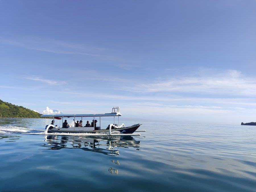
Deeper water, drop-offs and channels where we run BRUV deployments and priority species monitoring: the sites that tell us what is moving through the area rather than living on one patch of it.
Site in focus
Our priority species survey ground
Deeper water where we drop BRUV rigs and log what passes. Sharks, rays and larger predators are hard to count by diving. A camera on the bottom waits far longer, and far more patiently, than a diver can.
BRUV surveys · priority species monitoring · survey technique training
How it works
How a site becomes part of our work
-
Known sites, and new ones
Most of our sites are well known to the handful of dive shops and divers within GITA NADA. We also explore new drops ourselves, looking for places that could be worth studying or restoring.
-
We take a first look
A first dive to see what is actually there: habitat, condition, access, and whether the work we could do would make a real difference.
-
It joins the monitoring cycle
Baseline surveys first, then a repeat schedule. From that point the site has a record, and every expedition that visits adds to it.
-
The data is shared
What we record at each site becomes part of the data we share with the government and partner NGOs, adding to the wider picture of how the Marine Protected Area is doing.
Before you ask
About the sites
Will I get to visit all of these sites?
Not all of them, and which ones you see depends on how long you stay and what the weather does. A two week Eco-Venture covers a handful of our regular reef and mangrove sites. A longer placement reaches further, including the sites we visit less often. Conditions decide the order: we go where it is safe and where the survey is due.
Why are some sites shown only approximately?
A few locations are deliberately left imprecise. Sites with vulnerable species, restoration plots that are still establishing, or ground we work under a local agreement are marked to the area rather than the metre. Publishing exact coordinates for those would do more harm than good.
Does the map change?
Yes. It is a live map rather than a picture of one, so as sites are added, updated or retired the version on this page changes with it. The photographs and notes attached to each marker are updated as the work progresses.
Can I use your site data for my own research?
Get in touch and tell us what you are working on. We share data with researchers, students and partner organisations where we can, and several of our sites have records long enough to be useful well beyond our own projects.